Been a little while since I posted a cool tip and even this time I have taken someone else’s idea.
This one is from Donal McMoreland of Amicus Technology in Galway, Ireland.
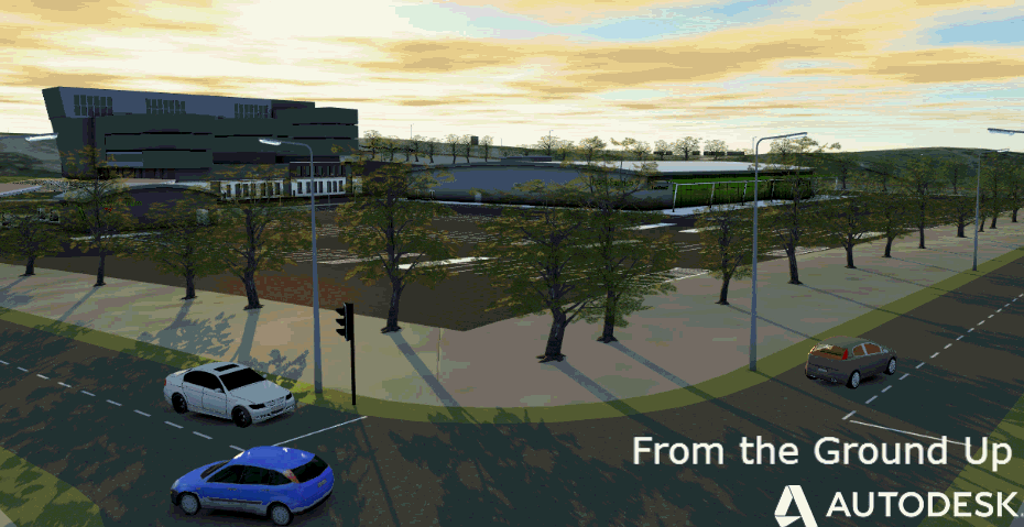
So you may want to build a cool city model using our Infrastructure Modeler application and you have the local mapping dataset, (this one from the OSi in Ireland)
The problem here is that there is no polygons or closed polylines, especially when you have adjoining properties
So the steps are
Create a new layer and make current.
Isolate the building layer
Draw a rectangle around the area
Now using the BHATCH command (use the solid hatch), select a point in the area outside the buildings within your rectangle
Select your solid hatch and then right click and select ‘Generate Boundary’
Now select and delete the solid hatch and you are now left with nice closed polylines around each building.
Final step if you are going into Infrastructure Modeller, it is better to save this layer to a SDF file, so type in MAPEXPORT and save to a file.
Now you can connect that SDF file in Infrastructure Modeler and up they pop!
(Note the relistic sky in Galway)
Jack Strongitharm
Nice tip, thanks Donal !!
Jack Strongitharm