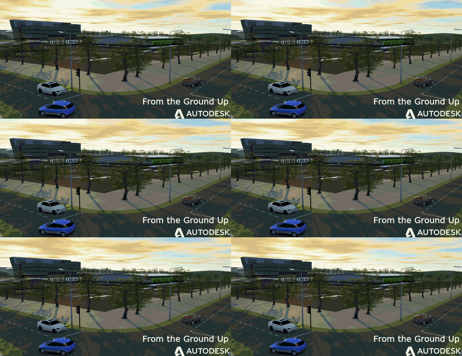
Here a little trick to improve/change the quality of your aerial photos. Here the process;
After downloading your model from Model Builder, select the imagery in the Data Sources Tab and select Configure.
Select the Raster tab and then in the Bing Maps section you can select/change the ground resolution of your imagery.
Select Close & Refresh and go and have a cup of coffee because it will take a while to regen the model.
and here also a short video You Tube Video
Enjoy Model Builder and thanks to Giovanni for this great tip!
Cristina Savian
