As you might have noticed from some posts and the twitter feed that my new interest is around the capture of photographs to create a 3D model/scan.
Especially using a UAV type device to get in the air and capture areas that are out of the line of sight from standing on the ground with your camera.
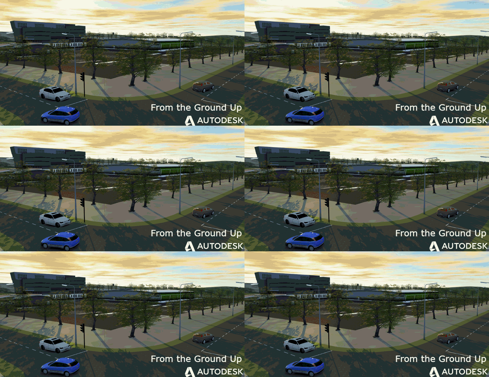
Here is a short video on the process of using a UAV device, taking the images into Photo on Recap360 and using the output in AutoCAD Civil 3D, InfraWorks and Revit.
https://www.youtube.com/watch?v=RmU5qzSLS1k
Jack Strongitharm
