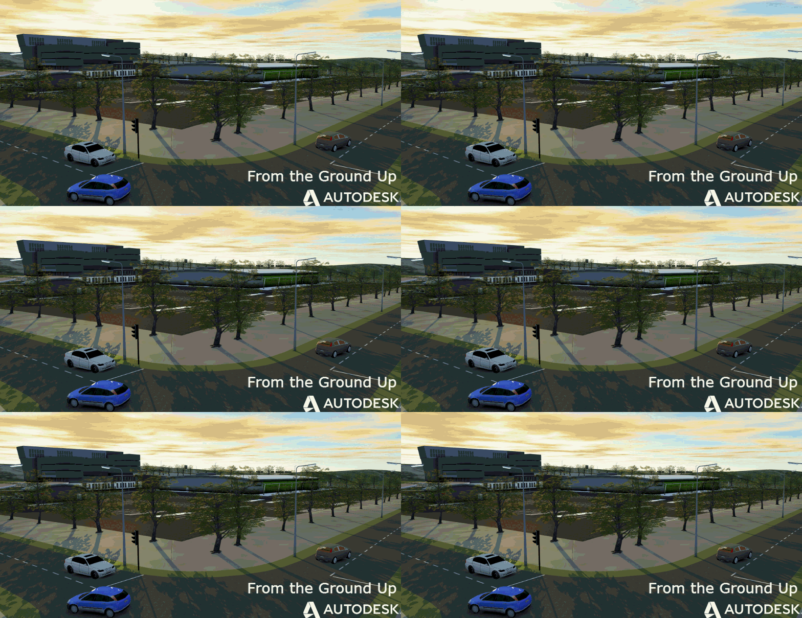
In our world in civil engineering we live in the real world of coordinate systems.
So you maybe finding if you load a point cloud into Recap, if it is already registered to the coordinate system, you might find a level of loss of quality in the graphic representation.
This is easily fixed with the 'update origin', which also can improve navigation in long road and rail type scans.
Here is my usual sample when just loaded
After picking a location in the scene, the visuals improve, check the building on the right side of the image.
Jack Strongitharm
