Occasionally I like to get involved in a little charity hobby project so I can use our software in the real world, rather than just against standard datasets that we use for presentations.
Also I like to use the latest survey and scanning equipment out there.
This year it is the turn of the Polish Scouts here in the UK.
They have a site they use for camping which needs some improvements and TLC to make it easier to access and a venue for other schools to use.
So I started first with a scanning exercise of the site and a level of survey control.
So I borrowed a Faro Focus from the UK team (Neil Barnett and David Southam).
It was nice and easy to use with little setup, (even controlling it from my phone).

Also for some survey GPS points, Topcon (Andrew Evans) gave me access to a GNSS HiPer II and Tesla logger. Again, minutes to get myself up and running.


I collected the scans on site (17 in this case)
Registered them together in Recap Pro, yes you can do external registrations also not just buildings.
You just need some hard edges and corners for the software to recognise. Also here you can combine the survey points, so that the results are located correctly against your coordinate system.
Index the scans
Not bad results for the five minute scan setting that I used on the Faro Focus
With Realview on ReCap 360 service I can now share these scans with anyone with a web browser
I also then combined the scan data in AutoCAD Civil 3D by bringing in the collected GPS points for key areas
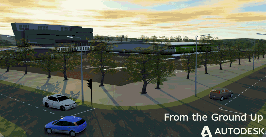
As the site is in a planning stage, using this data as context for the layouts that they are exploring is simple using InfraWorks against the mapping, aerial photography etc.
Not too bad for three hours on site and about 30 minutes back in the office.
A big thanks to the vendors here for loan of the equipment.
In part 2 of this blog I get into more detail with a topographical survey.
(other survey and scanning equipment are available and work well with Autodesk technologies, these are just what were made available to me for this exercise)