Following the scan of the site from the previous blog post, it was decided to work on a more detailed topographical survey of the site.
So getting my hands dirty again with some survey equipment I took a loan from Topcon again and this time I used a IS-3 total station

Back on site I was able to pick up from the GPS points I captured on my last trip as I was using the same logger.
I could then resection these points to position the equipment survey station and set myself on UK survey ordnance survey coordinates.
So running around the site with the robotic total station following me around was really easy and use of the video camera on board was handy when finding myself through the deep tree coverage.
There are many outputs when it comes to survey, but if you have worked in this method a simple csv file is perfect and simple to understand.
(FBK format is only required if analysis and error reductions are needed.)
Back in AutoCAD Civil 3D, I refined the figure prefix library that I have in the UK and Ireland country kit with some names like ‘BOB’ 🙂 (bottom of bank)
When you bring data through survey in AutoCAD Civil 3D, if you have named your codes in the library, linework automatically draws. You can easily control the linework by adding additional linework coding on the instrument on site, or like me lazy or simply forget, adding these codes back in Civil 3D is easy enough and update the linework.
Hard to see here, but double coding this line from a fence line to a wall on the same point, rather than multiple points can be used.
Here now I can carry out a surface from the data, create contours …
Also I combined in the mapping of the area for a little context and used the map tools to boundary trim out the extents of the survey.
If you are using 2014, set your coordinate system and type ‘Geomap’ and bing mapping will stream down into your session.
Handy to check that you at least setup the equipment correctly.
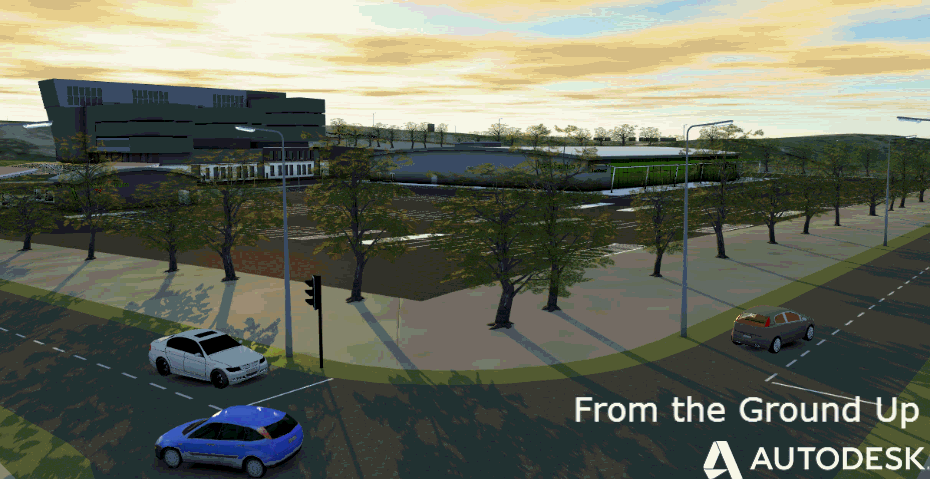
Finishing off and creating a traditional 2D drawing output from the data with a grid, north point and drawing border, well that is automatic in most AutoCAD’s knowledge 🙂
Been great to pickup survey equipment again and to get out the wellies and trudge around a site and produce something to be used to get funds in place to give the kids somewhere to have fun again to camp out when it eventually dries out.
Many thanks to Topcon and Faro for the loan of the kit.
(other survey and scanning equipment are available and work well with Autodesk technologies, these are just what were made available to me for this exercise)
Jack Strongitharm