Some of you might have noticed that the surface from point cloud feature had disappeared in the original release of the 2015 version of Civil 3D.
Well for good reason.
So this extension has been posted on the subscription centre for a couple of weeks, but thought I would make a quick video to show you how it works.
Thanks to Topcon for the supply of the point cloud from their IPS2 mobile mapper solution which I had indexed in our Recap technology and comes in directly into AutoCAD.
The Recap point cloud can be consistently controlled and accessed through AutoCAD Civil 3D for this technique.
Currently limited to only extracting 800,000 points to a surface by filtering out non ground points is making point clouds now useable beyond just viewing to a huge user base.
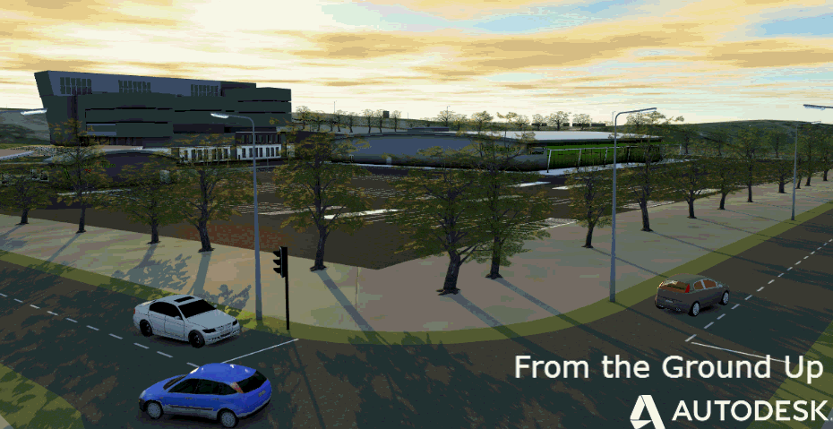
Think of maintenance, widening etc to capture all the defects in the existing surface is much easier than just traditional survey.
Depending on your equipment used to capture the data, the time can be reduced to how long it takes to drive the route